Spatial Data and Efficient Maps
Spatial data is of crucial importance to the decision maker in planning and developing the growth of a state. The taking of data on routing, filtering, analysis and presentation of information play a strategic role for decision making. With Wilzur technology, you can quickly visualize information, perform analysis and make better and faster decisions.
Command and Control
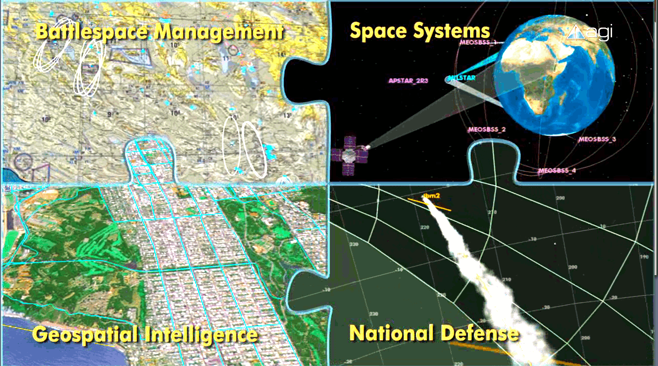
From mission command to intelligence, surveillance and reconnaissance (ISR) to training area management and mission support. Data visualization takes center stage in activities as diverse as battlefield simulation, mission summary and communications planning, logistics management, and command control.
Time and Position Information
Weather and terrain interpretation play an important role for every mission. Real-time information is essential to deploy troops in the fastest and most effective way. Field commanders (land, air, sea) can determine strategic positions, such as ideal locations for scouting groups, the best line of sight, and also the ability to hide troops and equipment.
Logistics Management
Geospatial technology plays an important role in military logistics because it helps move supplies, equipment and troops where they are needed at the right time and place. This allows alternative routes to be determined if mishaps or traffic jams occur on the most direct route. Through the use of GPS and GIS, certain sensitive items can be tracked at every step of their shipment and also kept away from hot spots, populated areas, or other shipments.

